Flood Watch through this Friday. Hug wind watch through Thursday.
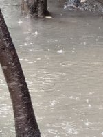
The ground is soaked and cannot absorb anymore water. So the water will move sideways across the ground.
AREAL FLOOD WATCH
URGENT - IMMEDIATE BROADCAST REQUESTED
Flood Watch
National Weather Service Sacramento CA
1226 PM PST Mon Jan 2 2023
Northern Sacramento Valley-Central Sacramento Valley-Southern
Sacramento Valley-Carquinez Strait and Delta-Northern San Joaquin
Valley-Mountains Southwestern Shasta County to Western Colusa
County-Northeast Foothills/Sacramento Valley-Motherlode-
Including the cities of Modesto, Marysville/Yuba City, Chico,
Paradise, Stockton, Red Bluff, Redding, Sacramento, Jackson,
Alder Springs, Fairfield/Suisun, Grass Valley, and Oroville
1226 PM PST Mon Jan 2 2023
...FLOOD WATCH IN EFFECT FROM WEDNESDAY MORNING THROUGH FRIDAY
MORNING...
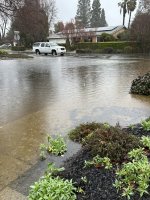
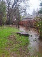
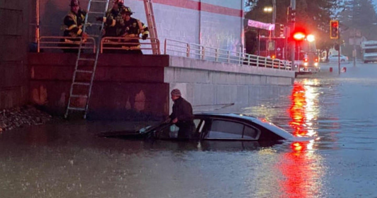
* WHAT...Flooding caused by excessive rainfall is possible.
* WHERE...Sacramento Valley, Northern San Joaquin Valley, Carquinez
Strait and Delta, Motherlode, Sierra Foothills, Mountains of
Southwestern Shasta County to Western Colusa County,
* WHEN...From Wednesday morning through Friday morning.
* IMPACTS...Excessive runoff may result in flooding of rivers,
creeks, streams, and other low-lying and flood-prone locations.
Creeks and streams may rise out of their banks. Flooding may occur
in poor drainage and urban areas. Low-water crossings may be
flooded. Storm drains and ditches may become clogged with debris.
Extensive street flooding and flooding of creeks and rivers are
possible. Area rivers, creeks, and streams are running high,
particularly along the Consumes and Mokelumne Rivers, and are
expected to rise with more heavy rain.
* ADDITIONAL DETAILS...
-
http://www.weather.gov/safety/flood
PRECAUTIONARY/PREPAREDNESS ACTIONS...
You should monitor later forecasts and be alert for possible Flood
Warnings. Those living in areas prone to flooding should be prepared
to take action should flooding develop.
&&
]
 .
.